The “Portugal Divide” is a bikepacking route consisting of the Geodesic Center and five Extreme Waypoints in Mainland Portugal. The bikepacker chooses their own path, being asphalt, dirt trails, or a mixture of both. The Portugal Divide can be travelled at any time, either individually or in a group. Once a year there will be a Portugal Divide event, starting at Cevide (the northern end), crossing all waypoints, and finishing at Sta. Maria Cape (the southern end).

DETAILS

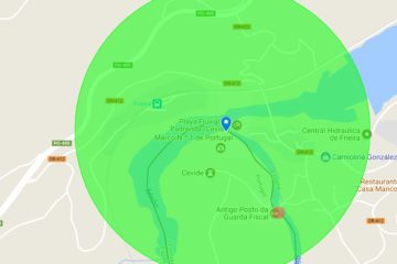
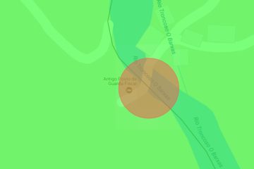
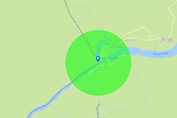
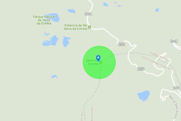
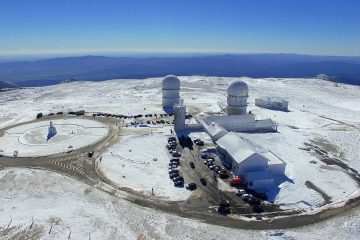
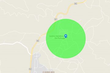
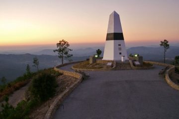
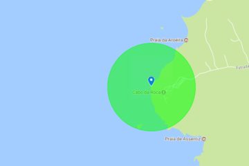
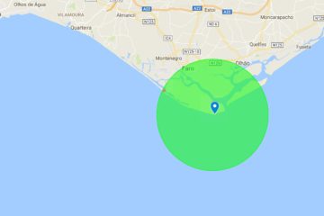
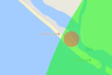
Observations: The Extreme Points and the Geodesic Center of Mainland Portugal are validated provided that the passage of the bikepacker is verified through the interior of an imaginary circle with center in the coordinate and radius for that defined point. Meaning, for example, that the highest point of Continental Portugal (Tower) is validated if the passage occurs at a distance less than 500 meters from the coordinate. However, Cevide and Cabo de Santa Maria, because they are the emblematic points of departure and / or arrival of Portugal Divide, are validated in a specific location, which will be the Depart / Arrival Spots defined, respectively in Ponte Barjas and Faro Island .

Cevide - Northernmost Point, where the challenge begins ... Or ends!

Check-in Area

Ponte Barjas – Depart/Arrival Spot 

Ponte Barjas

Penha das Torres - Easternmost Point

Check-in Area

Penha das Torres

Torre - Highest Point

Check-in Area

Torre

Pico da Melriça - Geodesic Center

Check-in Area

Pico da Melriça

Cabo da Roca - Westernmost Point

Check-in Area

Cabo da Roca

Cabo de Santa Maria - Southernmost Point, where the challenge ends ... Or begins!

Check-in Area

Ilha de Faro – Arrival/Depart Spot 

Ilha de Faro